What you get
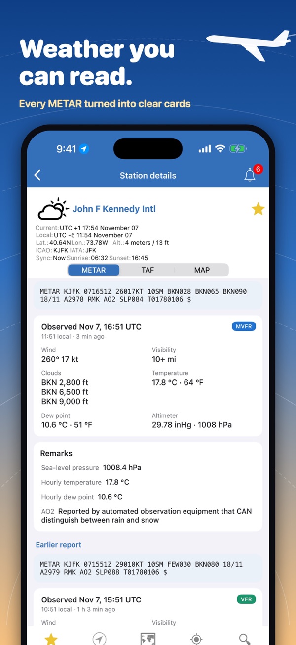
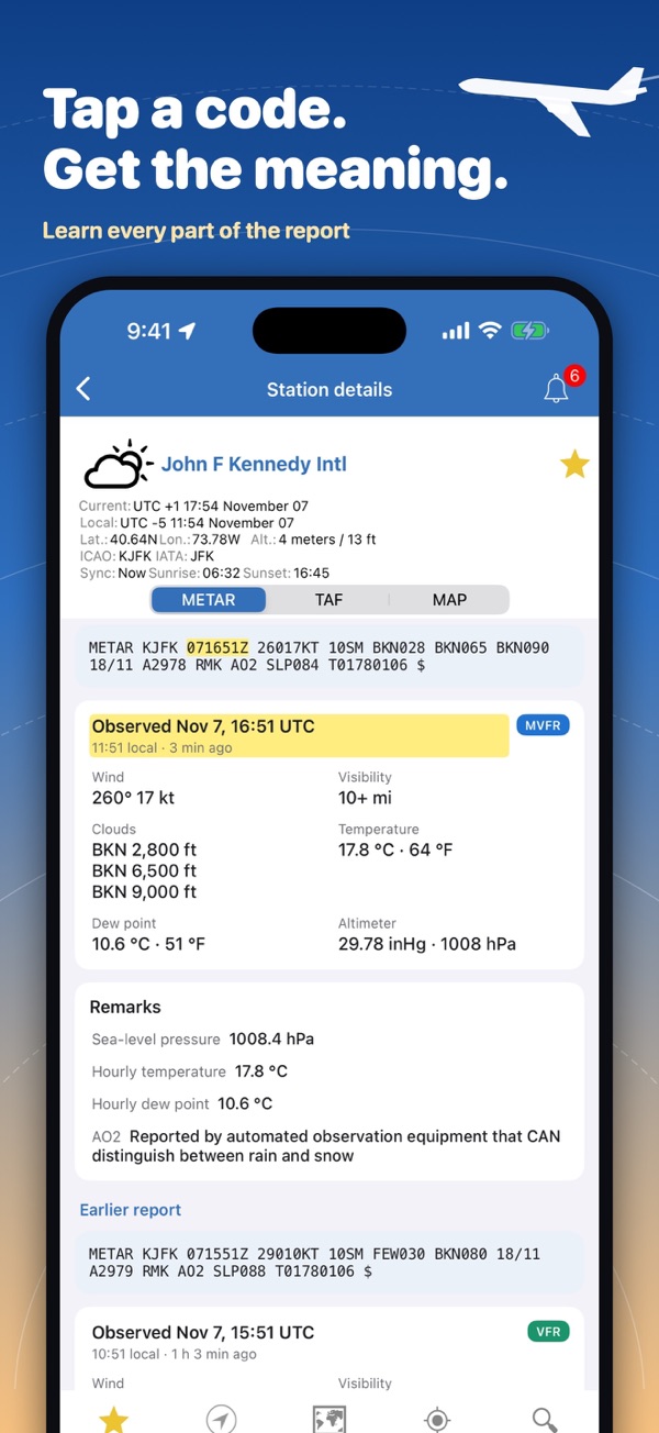
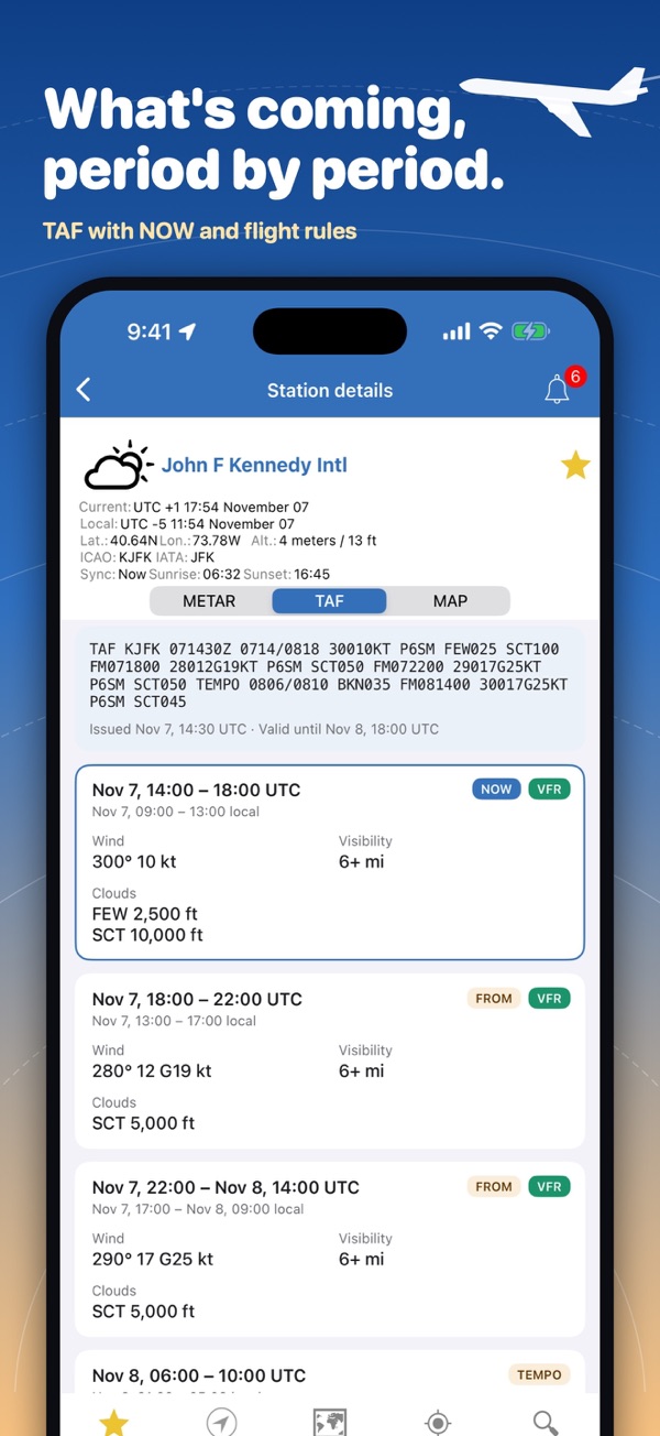
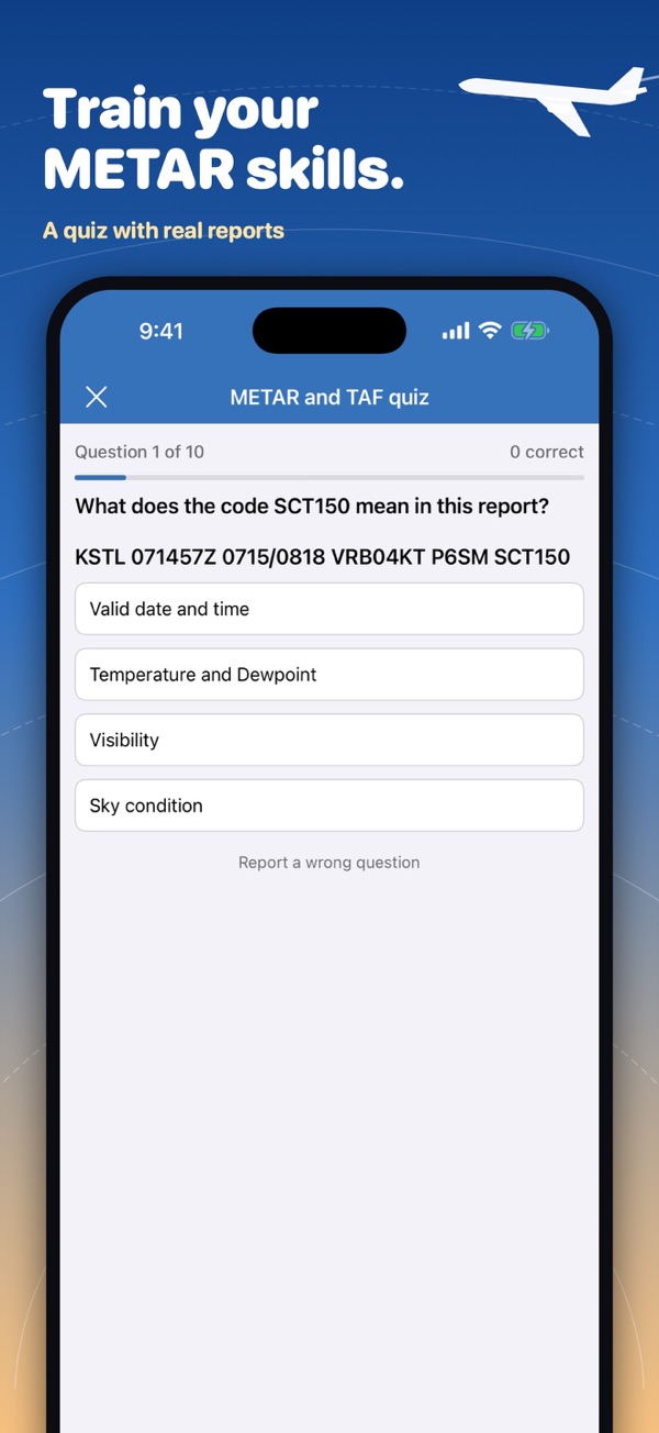
METAR & TAF, decoded
Raw reports plus a plain-English version, great for learning to read them.
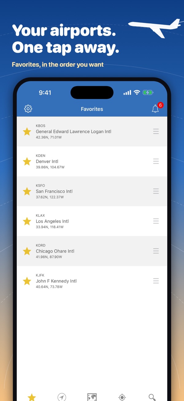
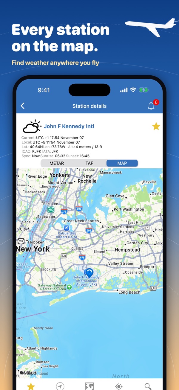
Any airport
More than 100,000 stations worldwide; add any airport by its code.
Nearest stations
If a field doesn't report, the nearest reporting stations are shown.
NOTAM & winds aloft
In NOAA AWC Aviation Weather, for flight planning and drone jobs.
Screenshots
Flight school or organisation? Deploy our aviation apps to your students and crews.
Our apps for this
 NOAA Aviation Live Sky WeatherMETAR & TAF – Free
 NOAA Aviation PRO Live WeatherMETAR & TAF – PRO
 NOAA AWC Aviation WeatherNOTAM & winds aloft – Free
 NOAA AWC Aviation Weather PRONOTAM & winds aloft – PRO